
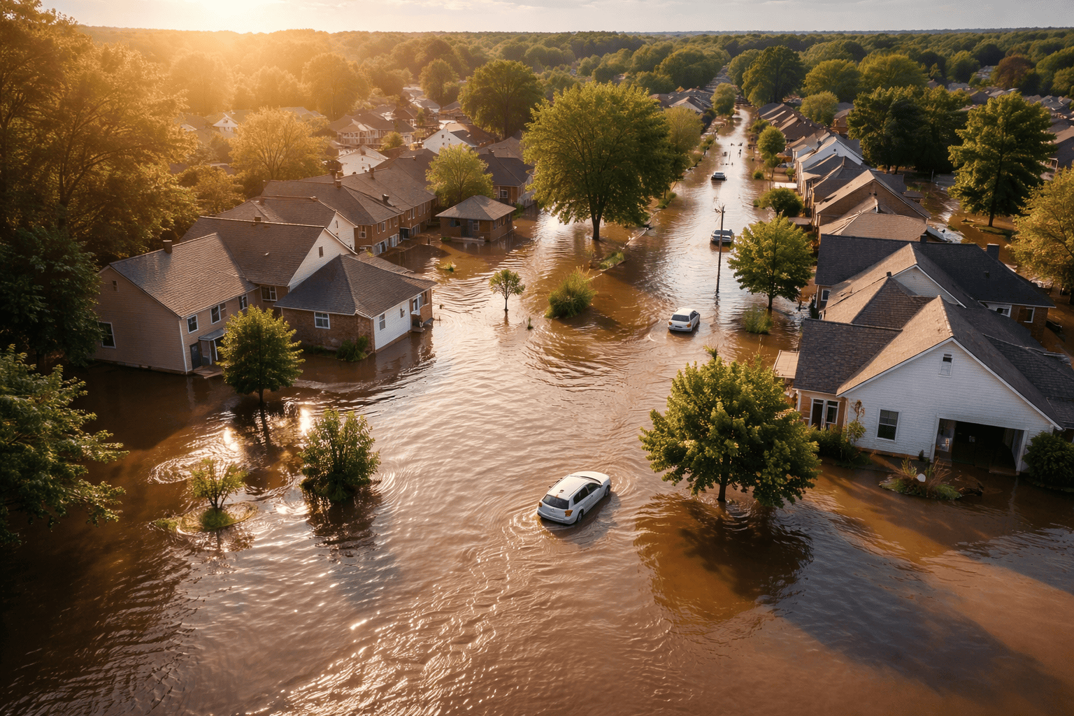
Flood Zones and FEMA Maps: How to Check Your Home and Understand the Risk
Many homeowners are surprised to learn that flood damage is not covered by a standard homeowners insurance policy. That surprise often shows up at the worst possible time—during a home purchase, a refinance, or after a major storm. The confusion usually centers around one question: How can my home be in a flood zone when it’s never flooded?
Understanding flood zones and FEMA flood maps helps clear up that confusion. These maps are not predictions about what will happen next year. They are probability models designed to estimate long-term flood risk based on elevation, terrain, rainfall patterns, and drainage systems.
If you prefer to walk through this visually, we also explain this topic step by step in a short YouTube video that breaks down flood zones, FEMA maps, and why flood risk often feels counterintuitive for homeowners.
In our accompanying YouTube video, we walk through this topic step by step and explain why flood risk often feels counterintuitive. This article expands on those concepts and gives you a practical framework for checking your own home and understanding what the results actually mean.
What FEMA Flood Maps Actually Show
FEMA flood maps are built to answer a long-term question: where is water most likely to go during a major flooding event? They do not measure personal experience, and they do not rely on whether your home has flooded before.
That’s why homeowners sometimes feel blindsided. A property can go decades without flooding and still be located in a higher-risk zone based on elevation and drainage modeling. FEMA flood maps look forward, not backward.
You can check your property directly using the official FEMA Flood Map Service Center:
https://msc.fema.gov/portal/home
Understanding Flood Zone Labels
When you look up your address, you’ll see flood zone designations such as A, AE, or X. These letters are not judgments about your home—they are categories of risk.
- Zone A / AE: Higher-risk areas with at least a 1% annual chance of flooding. Lenders often require flood insurance in these zones.
- Zone X: Lower-risk areas where flood insurance is usually optional, but flooding can still occur.
A common misconception is that Zone X means “no risk.” In reality, it simply means the probability is lower. Flooding from heavy rainfall, overwhelmed drainage systems, or runoff can and does happen outside of high-risk zones.
The “100-Year Flood” Misunderstanding
One of the most misunderstood terms in insurance is the “100-year flood.” This does not mean flooding happens once every hundred years. It means there is approximately a 1% chance of flooding in any given year.
Over the life of a typical 30-year mortgage, that risk becomes much more significant. This is why lenders, insurers, and regulators focus on flood zones even when a property looks perfectly safe on the surface.
In the accompanying YouTube video, we illustrate this concept visually, because seeing how a 1% annual risk compounds over a 30-year mortgage helps put the number into perspective.
Why Homeowners Insurance Doesn’t Cover Flood Damage
Flood damage is excluded from standard homeowners insurance because flooding tends to affect many properties at the same time. This creates a level of correlated risk that requires a separate insurance system.
Flood insurance is designed specifically to cover water that comes from outside the structure and accumulates on the ground before entering the home. Where that water originates—rain, runoff, or overflowing systems—matters less than how it enters.
If you’re evaluating flood coverage options, you can learn more about how flood insurance works here:
Flood Insurance Coverage Explained
Elevation, LOMAs, and Why Maps Aren’t Always Final
FEMA flood maps are excellent tools, but they are not perfect at evaluating individual structures. In some cases, a home may be located in a mapped flood zone while sitting above the base flood elevation.
When that happens, a homeowner may be eligible for a Letter of Map Amendment (LOMA). This process uses elevation data to show that the structure itself is at lower risk than the surrounding area. If approved, it can remove a lender’s flood insurance requirement for the structure.
Even when flood insurance remains required, elevation and property-specific characteristics can influence pricing and coverage options.
Flood Risk Is About Planning, Not Fear
Flood insurance decisions are ultimately risk-management decisions. They are not about assuming disaster will happen. They are about removing uncertainty and understanding potential financial exposure before a loss occurs.
Whether flood insurance is required for your home or optional, checking your flood zone and understanding how FEMA maps work puts you in control of the decision.
For a clear, plain-English explanation of flood zones and FEMA maps, you can also watch the companion YouTube video linked in the description. It walks through the same concepts visually and helps connect the map data to real-world decisions homeowners face.
Knowing your risk ahead of time allows you to make intentional choices—without surprises, pressure, or confusion later.


